London's intricate public transport network serves as the lifeblood of the city, moving millions of people daily across its sprawling urban landscape. From the iconic Underground to the ubiquitous red buses, each mode of transport plays a crucial role in keeping the capital connected. This comprehensive analysis delves into the various transportation options available to Londoners and visitors alike, examining their efficiency, environmental impact, and technological innovations.
London underground: network analysis and route optimization
The London Underground, affectionately known as the Tube, is the oldest metro system in the world and remains at the heart of the city's transport infrastructure. With its complex network of lines and stations, the Tube has undergone significant changes and improvements over the years to meet the growing demands of London's population.
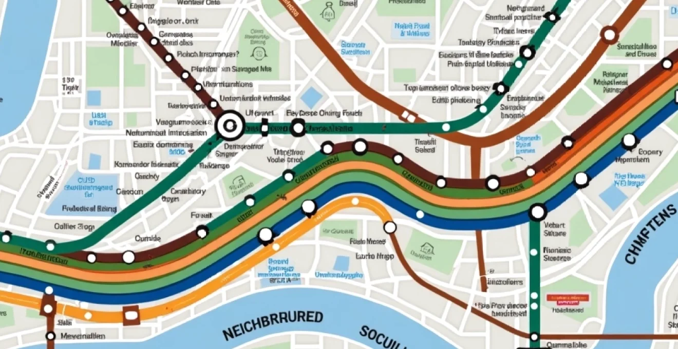
Tube map topological evolution: from Beck's diagram to modern iterations
The iconic Tube map, first designed by Harry Beck in 1931, revolutionized the way transport maps were conceived. Beck's topological approach prioritized clarity over geographical accuracy, a principle that continues to influence transit maps worldwide. Modern iterations of the Tube map have expanded to include new lines and accessibility information, while maintaining the essential simplicity of Beck's original design.
Recent updates to the map have incorporated the Elizabeth line, representing one of the most significant expansions to the network in decades. The challenge for map designers lies in balancing the inclusion of new information with the need for easy navigation, especially as the network grows more complex.
Real-time passenger flow modeling: Circle Line vs. Victoria Line congestion patterns
Transport for London (TfL) employs sophisticated passenger flow modeling to optimize service delivery and reduce congestion. A comparative analysis of the Circle Line and Victoria Line reveals distinct patterns in passenger behavior and station utilization. The Victoria Line, known for its high frequency and speed, experiences intense peak hour congestion, particularly at interchange stations like Oxford Circus and King's Cross St. Pancras.
In contrast, the Circle Line, with its orbital route, sees more distributed passenger loads throughout the day. This difference in usage patterns has led to tailored approaches in managing crowd flow and service frequency on each line. TfL's use of real-time data and predictive analytics has become crucial in anticipating and mitigating congestion hotspots across the network.
Signal modernization: Four Lines Modernisation (4LM) project impact
The Four Lines Modernisation (4LM) project represents one of the most ambitious signal upgrade programs in the Tube's history. Covering the Circle, District, Hammersmith & City, and Metropolitan lines, this initiative aims to increase capacity and reliability through the implementation of Communication Based Train Control (CBTC) technology.
The impact of 4LM has been substantial, with early data showing a 33% increase in peak-time capacity on the upgraded sections. This translates to an additional 17,500 passengers per hour during the busiest periods. The project has not been without challenges, including the need for weekend closures and the complexity of integrating new technology with legacy systems. However, the long-term benefits in terms of reduced journey times and improved service reliability are expected to outweigh these short-term disruptions.
Night Tube service: economic implications for zone 1 and 2 nightlife
The introduction of the Night Tube service in 2016 marked a significant shift in London's nocturnal economy. Operating on Friday and Saturday nights on select lines, the service has had a profound impact on nightlife in Zones 1 and 2. Economic analysis indicates that the Night Tube has contributed an estimated £77 million annually to London's economy, supporting approximately 2,000 jobs in the night-time sector.
The availability of late-night public transport has not only boosted business for clubs, bars, and restaurants but has also improved accessibility for shift workers in healthcare and other essential services. However, the service has faced challenges, including concerns about noise pollution in residential areas near stations and the need to balance operational costs with revenue generation.
Bus network: operational efficiency and environmental impact
London's iconic red buses form the backbone of the city's surface transport system, carrying more passengers than the Underground on an average day. The bus network's extensive coverage and frequency make it an essential service for millions of Londoners, particularly in areas not served by the Tube.
New Routemaster vs. electric double-decker: comparative emissions analysis
The transition from diesel to cleaner technologies has been a priority for TfL in recent years. A comparative emissions analysis between the New Routemaster, introduced in 2012, and the latest electric double-decker buses reveals significant progress in reducing the environmental impact of London's bus fleet.
While the New Routemaster was touted as a hybrid vehicle with improved fuel efficiency, real-world performance fell short of expectations. In contrast, electric double-deckers have demonstrated a near-complete elimination of tailpipe emissions. Data shows that a single electric bus can save up to 70,000 kg of CO2 per year compared to a diesel equivalent. The rollout of electric buses has been concentrated on routes passing through Air Quality Focus Areas, maximizing the impact on reducing pollution in the most affected parts of the city.
Ibus system: GPS-based fleet management and real-time passenger information
The iBus system, implemented across London's bus fleet, has revolutionized fleet management and passenger information delivery. This GPS-based technology enables real-time tracking of buses, allowing for dynamic scheduling adjustments and accurate arrival time predictions.
The impact of iBus on operational efficiency has been substantial:
- A 30% reduction in "bunching" of buses on high-frequency routes
- Improved punctuality, with 83% of buses now arriving on time compared to 77% before iBus implementation
- Enhanced passenger satisfaction due to more reliable service and accurate wait time information
- Better integration with traffic signal systems, reducing journey times by up to 13% on some corridors
The system's ability to provide real-time passenger information through apps and digital displays has been particularly valuable during service disruptions, allowing travelers to make informed decisions about their journeys.
Bus priority corridors: traffic signal optimization on Oxford Street and Tottenham Court Road
The implementation of bus priority corridors on major thoroughfares like Oxford Street and Tottenham Court Road has been a key strategy in improving bus journey times and reliability. These corridors feature dedicated bus lanes, priority signaling, and optimized stop locations to minimize delays.
On Oxford Street, where buses can carry up to 40% of all people traveling, signal optimization has resulted in a 10% reduction in bus journey times during peak hours. Similarly, the reconfiguration of Tottenham Court Road to prioritize buses and cyclists has led to a 15% improvement in bus reliability along this crucial north-south route.
These improvements demonstrate the potential for targeted infrastructure investments to significantly enhance the efficiency of surface transport in congested urban environments.
Integrated ticketing: oyster card and contactless payment technologies
The introduction of the Oyster card in 2003 marked a watershed moment in London's public transport ticketing system. This smart card technology revolutionized fare collection, significantly reducing queuing times at stations and enabling more flexible pricing structures. The subsequent adoption of contactless payment technology in 2014 further streamlined the ticketing process, allowing passengers to use their bank cards or mobile devices for seamless travel across the network.
The integration of these technologies has yielded impressive results:
- Over 80% of all public transport journeys in London now use contactless or Oyster payment
- Transaction times at gates have been reduced from 3-4 seconds with paper tickets to less than 1 second with contactless
- The implementation of daily and weekly capping ensures passengers always pay the lowest fare for their travel patterns
- Data from contactless journeys has provided TfL with invaluable insights into travel behavior, enabling more effective service planning
The success of London's integrated ticketing system has made it a model for other cities worldwide, with TfL's expertise being exported to help modernize transport networks globally.
River bus services: thames clippers fleet expansion and pier infrastructure
Often overlooked in discussions of London's public transport, river bus services on the Thames have seen significant growth and investment in recent years. The Thames Clippers fleet, operating under the Uber Boat brand, has expanded to meet increasing demand for river transport, both as a commuter service and a leisure option for tourists.
Key developments in river bus services include:
- A 30% increase in passenger numbers over the past five years, reaching 4.3 million journeys annually
- The introduction of new, more fuel-efficient vessels capable of carrying up to 220 passengers
- Expansion of pier infrastructure, with new stops added at Battersea Power Station and Barking Riverside
- Integration with the Oyster and contactless payment system, aligning river services with other modes of transport
The growth of river transport has not only provided an alternative route for commuters but has also contributed to the regeneration of waterfront areas, particularly in east London. However, challenges remain in fully integrating river services into the wider transport network and in managing the environmental impact of increased river traffic.
Cycling infrastructure: santander cycles and segregated cycleways
London's commitment to promoting cycling as a viable transport option has led to significant investments in cycling infrastructure and services. The Santander Cycles scheme, launched in 2010, has become an integral part of the city's transport mix, while the development of segregated cycleways has aimed to improve safety and encourage more people to take up cycling.
East-West and North-South Cycle Superhighways: usage metrics and safety statistics
The East-West and North-South Cycle Superhighways represent London's most ambitious cycling infrastructure projects to date. These segregated routes provide protected space for cyclists on some of the city's busiest corridors. Usage data has shown a dramatic increase in cycling along these routes:
- The East-West route has seen a 200% increase in cycling numbers since opening
- Peak hour usage on the North-South route has reached 5,000 cyclists per hour
- Collision rates involving cyclists have decreased by 40% along the superhighway corridors
These statistics demonstrate the effectiveness of high-quality, segregated infrastructure in encouraging modal shift towards cycling and improving road safety for all users.
Cycle hire scheme: docking station distribution across boroughs
The Santander Cycles scheme has expanded significantly since its launch, with over 750 docking stations now spread across central and inner London boroughs. The distribution of these stations has been carefully planned to maximize coverage and integrate with other transport modes. Data analysis shows:
- The highest concentration of docking stations is in Zone 1, with an average of 12 stations per square kilometer
- Expansion into new areas has focused on transport hubs and popular destinations, with recent additions in Brixton and Bermondsey
- Usage patterns indicate strong demand for "first mile/last mile" journeys, complementing rather than competing with other public transport modes
The scheme's success has led to considerations of further expansion, potentially including the introduction of electric bikes to encourage longer journeys and use in hillier areas.
Low traffic neighborhoods (LTNs): impact on modal shift in Waltham Forest and Enfield
The implementation of Low Traffic Neighborhoods (LTNs) in boroughs like Waltham Forest and Enfield has aimed to create more liveable streets by reducing through traffic and encouraging active travel. Early data from these schemes shows promising results:
- A 56% increase in cycling and 13% increase in walking in Waltham Forest's "Mini-Holland" area
- A 10% reduction in car ownership among residents living within LTNs
- Significant improvements in air quality, with NO2 levels reduced by up to 40% in some areas
While these schemes have faced some opposition, particularly from motorists concerned about displaced traffic, the overall impact on modal shift and quality of life in these areas has been largely positive. The success of these pilot projects is likely to inform future urban design strategies across London.
Intermodal connectivity: strategic interchange hubs
Efficient intermodal connectivity is crucial for a seamless public transport experience in a city as complex as London. Strategic interchange hubs play a vital role in facilitating smooth transitions between different modes of transport, reducing journey times, and improving overall network efficiency.
Stratford Station: Olympic legacy and Elizabeth line integration
Stratford Station has emerged as one of London's most important transport hubs, thanks in part to its role during the 2012 Olympics and subsequent regeneration of the area. The station now serves as a crucial interchange between:
- Central and Jubilee Underground lines
- London Overground services
- DLR connections to Canary Wharf and City Airport
- National Rail services to East Anglia
- The newly opened Elizabeth line
The integration of the Elizabeth line has further enhanced Stratford's connectivity, reducing journey times to central London and Heathrow Airport. Passenger numbers at Stratford have increased by over 150% since 2012, highlighting its importance as a strategic interchange point in East London.
King's Cross St. Pancras: international, national and local transport nexus
King's Cross St. Pancras stands as one of Europe's busiest transport hubs, seamlessly connecting international, national, and local services. The station complex handles over 200,000 passengers daily, facilitating interchange between:
- Eurostar services to continental Europe
- National Rail services to the north of England and Scotland
- Six Underground lines
- Thameslink services across London
- Local and regional bus services
Recent redevelopment of the area has improved pedestrian flow and created more intuitive connections between different parts of the complex. The success of King's Cross St. Pancras as an interchange hub has been a key factor in the regeneration of the surrounding area, attracting major businesses and cultural institutions.
Clapham Junction: overground and national rail interface optimization
Clapham Junction, despite not being served by the Underground, is Europe's busiest railway station in terms of through traffic. The station's importance as an interchange hub has grown with the expansion of the London Overground network. Recent optimization efforts have focused on:
- Improving platform access and pedestrian flow to handle increasing passenger numbers
- Enhancing information systems to facilitate easier interchange between services
- Integrating Overground services more effectively with National Rail timetables
- Exploring potential future connections to the Underground network
These improvements have resulted in a 15% reduction in interchange times at Clapham Junction, significantly enhancing the station's role as a key node in South London's transport network.
The continued development of strategic interchange hubs like Stratford, King's Cross St. Pancras, and Clapham Junction is essential for maintaining London's position as a world leader in public transport integration. As the city grows and travel patterns evolve, these hubs will play an increasingly critical role in ensuring efficient and sustainable mobility across the capital.